
Read more
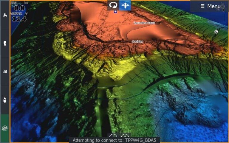
A tactical chart of the water off Brighton.
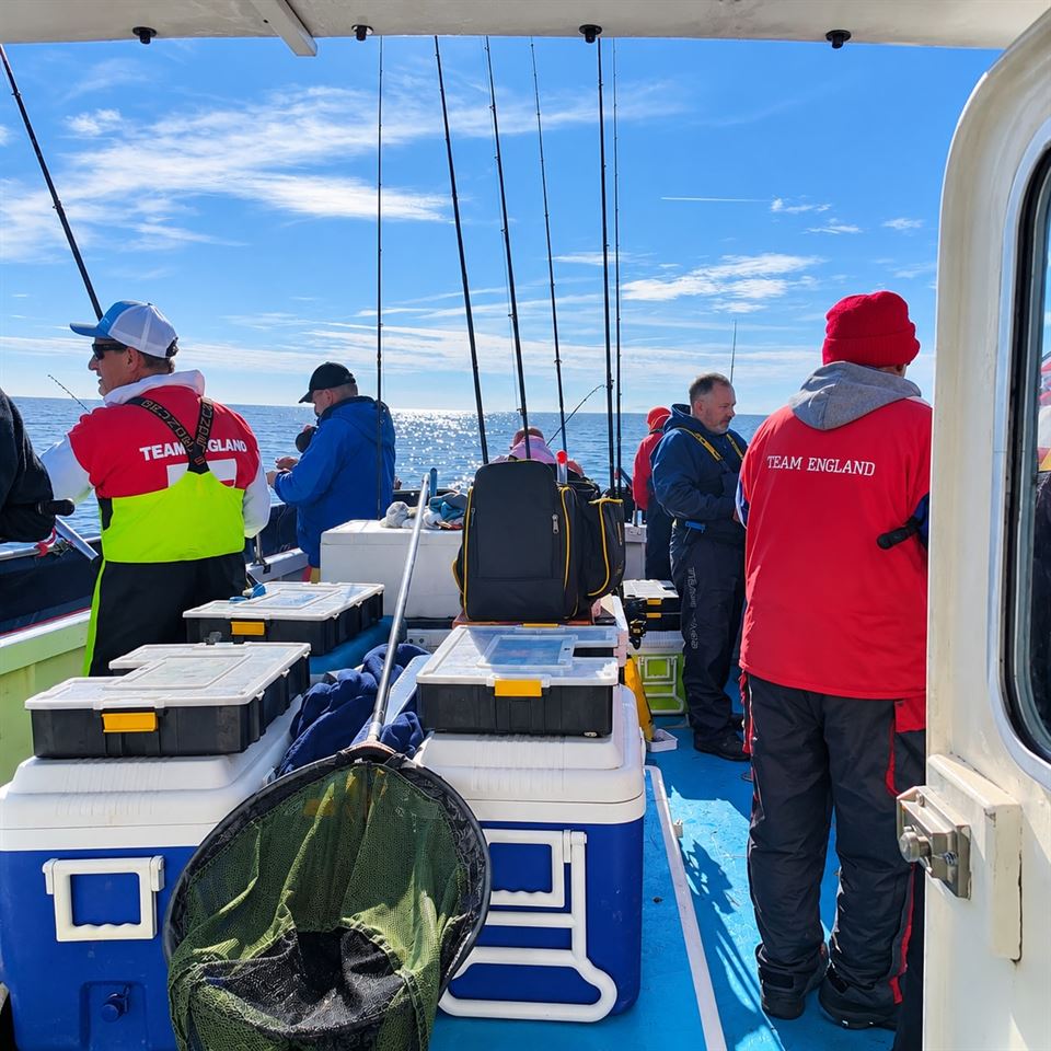
Leave Brighton Marina and within a few miles you cross sand, chalk reef and rough ground, with gravel and rock banks further out. Which one you fish, and how, is decided mostly by the tide.
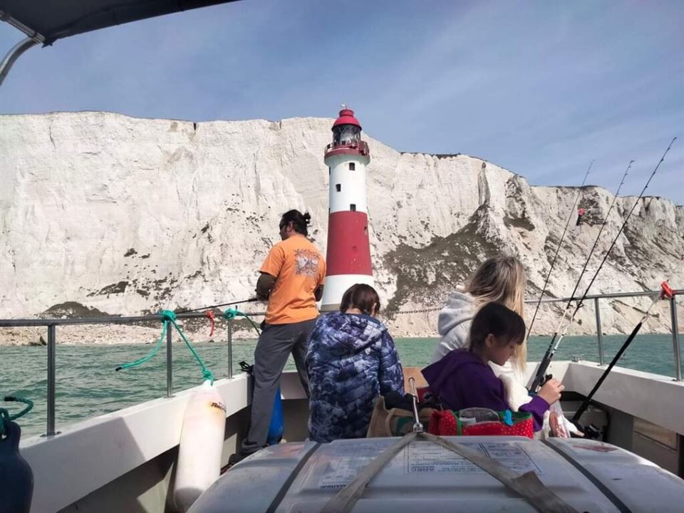
Think of it as a patchwork. The cliffs you see from the beach carry on below the surface. Between Brighton Marina and Newhaven, and again from Newhaven to Beachy Head, the seabed is protected as the Beachy Head West Marine Conservation Zone, which covers about 24 square kilometres. Its chalk is a wave-cut platform of ledges and gullies, pitted by piddocks and boring worms and covered in sponges, sea squirts and anemones. The zone also lists subtidal sand and mud, and mixed sediment, among its features.
Further west, the Kingmere Marine Conservation Zone, 5 to 10 kilometres south of Littlehampton and Worthing, protects chalk and rock under a thin layer of gravel and sand. Further out in the Channel the seabed turns to coarse sand, gravel and areas of bedrock.
Sussex was once wrapped in kelp too. The Sussex Wildlife Trust says it once stretched along about 25 miles of the coast, and a Sussex IFCA nearshore trawling byelaw, announced in 2021, keeps trawls out of 304 square kilometres of the near inshore seabed, partly to help it return.
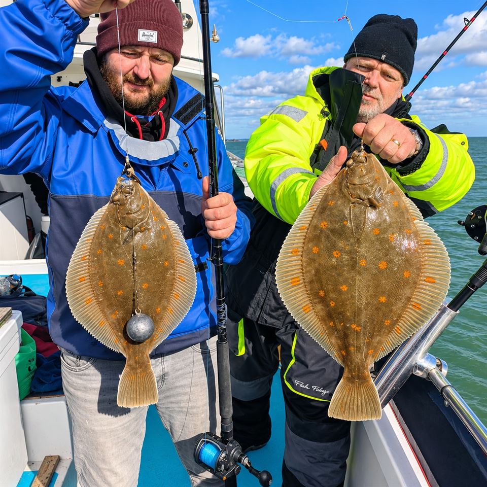
Between the reefs lie broad stretches of sand and mixed sediment, and that is flatfish country. Plaice, with their orange spots, are the fish most anglers picture on this kind of ground, and dabs, sole and others share it.
The sandy ground is also where drifting comes into its own, because a bait carried slowly over clean bottom covers far more fish than one sitting in one spot.
Our plaice fishing trips cover this ground, and the timing of each species is on our Sussex seasons guide.
Hard ground holds what sand cannot: crevices, weed, shellfish and small fish. The Sussex Wildlife Trust says the old kelp beds were a nursery and feeding ground for seahorses, cuttlefish, lobster, sea bream and bass. At Kingmere, black bream gather in early summer to nest in the rocky ground and chalk outcrops. The Beachy Head West zone is also noted for the short-snouted seahorse, a reminder that this is a living reef.
For anglers the useful point is that hard ground and its edges are where the life is. Our bass fishing trips work this kind of ground, and the fish-by-fish detail is on the Sussex species guide.
Rough ground eats tackle, so expect to lose the odd lead or rig.
The Offshore Brighton Marine Conservation Zone sits in the deeper water of the eastern Channel, about 45 kilometres south of Selsey Bill, and covers 861 square kilometres. Its seabed is mostly coarse sand and gravel with areas of exposed bedrock and mixed sediment, and the Sussex Wildlife Trust describes gravel with rocky reefs that feed skates, rays and other fish.
The neighbouring Offshore Overfalls zone, off the Isle of Wight, has sand and gravel banks and is listed for undulate and blonde rays, tope and cod. Those are protected sites in the same stretch of Channel, not marks we are claiming to fish: the point is what offshore gravel and banks can hold.
These are long runs from the marina, and the weather has to agree. Our Brighton sea chart shows how the ground changes with distance.
Springs occur around new and full moon: the water rises higher, falls lower and the tide runs faster. Neaps, at first and last quarter, give smaller ranges and weaker streams. The biggest springs tend to arrive a day or so after the moon phase.
The Channel is big on tide. Brighton Marina has a large tidal range, and on springs the stream along this coast runs hard, so the water moves a long way up and down the shore and the boat feels it. On neaps the same water is calmer and slower.
For official predictions and stream rates, use the UK Hydrographic Office's Admiralty EasyTide and the Admiralty tidal stream atlas for the English Channel.
It comes down to how fast the water is moving over the ground you want to fish.
This is general explanation, not a promise, because wind against tide, depth and the exact mark all change it, and the skipper makes the call on the day. It is why tide tables matter as much as the forecast when a trip is planned, whether that is one of our inshore fishing trips or a longer day at anchor.
Prices are on our charter boat fishing prices page.
Fancy a day on the water? See the Prices 2027, or get in touch and we will find the right trip for you.
A mix of sand and mixed sediment with chalk reef. The chalk ledges and gullies between Brighton Marina and Beachy Head are protected as the Beachy Head West Marine Conservation Zone.
Spring tides happen around new and full moon and give higher highs, lower lows and faster streams. Neap tides, around the quarter moons, give smaller ranges and weaker streams.
Big. Brighton Marina has a large tidal range, and the Channel stream runs hard on spring tides. For exact times and heights use the Admiralty EasyTide predictions.
It depends on the tide, the wind and the mark. Gentler streams suit anchoring; strong spring streams often suit drifting or fishing around slack water. The skipper decides on the day.
A tactical chart of the water off Brighton.
What bites in which month.

A 4-hour trip for multiple species over sand, reefs and rough ground.
Articles on the fish, wrecks and history of the Sussex coast.